Friday, May 28, 2010

Yellow-breasted Chat


Yellow-breasted Chat (Icteria virens)

Spotted on Cottonwood Creek in Idaho on 5/24/2010, singing vigorously

Hawks Return


The Red-tailed hawks (Buteo jamaicensis), on Cottonwood Creek had a successful neslting this year.  Two chicks, in their whitish feathers were spotted several weeks ago.  They grew quickly and by the second week of May they had lost all of their white baby feathers and had turned mostly brown, with white spots on their heads, and were almost as big as the adult birds.  It was amazing how fast they grew.  Four days ago I noted that the two nestlings were out of the nest and perched in a nearby snag.   The two young hawks seem to be moving from one tree to the next, under close supervision of the adult birds,but I have yet to see them winging it.  Yesterday I saw two hawks soaring close together high above a ridge a mile from the nest, but the nesting area was hawkless.   A hour later I spotted one of the adult birds perched near the nest but there were no other hawks visible.  The youngsters must be getting really close to being able to purchase full flight.

Thursday, May 27, 2010

Swoop of the Swifts


The outback of the Snake River Valley. The big dry. It's about as rugged a country as you can find. Remote. Waterless.  For the most part. A big dry desert. The spring flowers were out and they dotted the flat prairie, like so many little dabs of colorful paint, of red, yellow, pink and blue.  The ground was hard gravel with not a hint of soil,  yet indefatigable wildflowers, silver sage and bunch grasses seemed to thrive. Two antelope raced across the savanna, and contoured up a steep hill, before they stopped to observe the two-legged intruders.  The pronghorns were spooked but nothing was chasing them, at least that we could see.  

Greg, Steve, Soni and I were out exploring, the deserts of the Owyhee Mountains.  Greg was elected the leader of our expedition, because of his familiarity with this area, and because he had conducted a geologic study of these mountains.  We stopped at a vantage point on the sloping plains, less than half a mile from the Owyhee Mountains.  Or at least the foothills. Greg explained the topography in detail and definition was brought to suspect terrain.  He pointed out a fault line that he had discovered during his studies.  This line ran along the base of the Owyhee Mountains, where plains meet argillite and even more basalt.  The big fracture where uplifted ground left a scarp. A slip of the fault line.  Tectonic forces ripped soil from rock and stone was stretched skyward, a few feet here, a few feet there, and 10-20 feet in other locations. Imprecise uplifting deforming perfectly good rock formations.      

We hiked to a high bluff, a promontory with canyon on two sides of us.  A perfect lunch spot where we lingered under scudding clouds and drifting silent shadows of turkey vultures.  A line of green several hundred feet below marked a narrow water course, lined with grasses and willows.  Our discussion during lunch was lively as we talked about the geology of this canyon country and the merits of folk and rock bands we had recently encountered.   

Just below the rim of the canyon White-throated Swifts darted back and forth like miniature jet fighters, feeding on insects and gathering bugs in their throat pouch, to carry back to the young, hidden safely in deep crevices in the cliff walls. A group of swifts are collectively known as a "swoop" of swifts. Swoop and swift, indeed.   The Swifts remind me of the a Prairie Falcon, in their quickness and the shape of their body and wings.  Only a smaller version.   The White-Throated Swift has long straight wings and narrow tail, white markings on throat and belly, white tips on secondaries, and they roost at night with hundreds of other birds, usually in secret caves and crevasses in cliffs.  Their daily ritual includes an evening aerial gathering above the roost, where they ascend beyond view then descend as a swoop, entering the cavity several abreast.

We stopped at another location in a sage-deep canyon, to search for unique rocks and fossils, only to be interrupted by a bounding jackrabbit.  The rabbit raced through the brush and was soon out of sight.  I tried to recall the last time I had seen a jackrabbit as they used to be so common.  I couldn't remember.  Steve found a chunk of fossil bone that we thought might be of an ancient camel, but I had envisioned something more dramatic like a cave bear, or a saber toothed tiger.  We found small pieces of white chert scattered everywhere which appeared to be the work of careless neolithic craftsman.  A lizard was discovered and he thoughtfully posed for my camera.


The day was waning and we headed for home, and encountered another jackrabbit, running at full gait, through dense sagebrush.  I tucked away a rucksack of memories, about our geologic excursion, and great conversation with friends.   It was a good day in all regards.  Made even better by the appearance of a couple of jackrabbits.  Perhaps they have returned.

Monday, May 10, 2010

Dispatch from the South Fork Payette River


Spring in the Rocky Mountains. Snow packed peaks wedged into jet blue skies, and the sun actually felt warm. The snow pack is retreating very fast, and the valleys are snow free for the most part. There were lots of elk on the south Fork of the Payette River of Idaho, last week. They seemed to be in herds of 6-12 animals, and they looked good; a bit shaggy with their winter coats but otherwise they faired well this winter. The elk seemed to be everywhere I looked and you didn't need to look to hard. In the middle of the day there were herds along the river, in the lower and upper meadows, on the steep slopes. In the woods.

The elk herds in this region seem very healthy and plentiful. The wolves have done them good, by culling out the weak animals, keeping the herds of elk healthy. The elk are plentiful because of good management practices by the Idaho Fish and Game Department, and because the range is in very good shape. There are no domestic cattle to compete with the elk. They have a good winter range on the south slopes of the South Fork. There are few roads or trails in this region which promotes higher elk populations, because the elk like their isolation especially during calving.

I noticed several small stands of aspen in one canyon, each having 10-20 mature trees. These mature trees were probably 30 foot tall and they were surrounded by new aspen trees or shoots. There were hundreds of them, and they were all about 4 to 6 feet high. Most likely the wolves have kept the elk on the move which has kept them from overgrazing the aspen shoots which they so dearly love. The aspen appear to be thriving which is good for other wildlife, and it provides feed for the elk during the winter when the snow is deep.

I see no evidence of any sort that wolves are decimating elk herds. In fact it's quite the opposite. A robust population of wolves will allow other critters to thrive and protect the range from being overgrazed by elk. Diseased and injured elk are quickly removed from the herd by wolves which makes the rest of the herd stronger.

This could easily have been some location in Yellowstone Park. And how lucky to have this virtually in my back yard.

Monday, May 03, 2010

Lewis and Clark at Whitehouse Pond

Whitehouse Pond


Lochsa River

My wife Louise and I were on the way to Missoula and decided to take the route across the Bitterroot Mountains. Through the big gap called LoLo Pass. Winter seemed to be waning, and the road along the Lochsa River would probably be snow free. Maybe. I expected the pavement to be bare with lots of snow on the peaks and ridges.

The Nez Perce and Lewis and Clark trails traversed this region, mostly along the main ridge line just to the north of the Lochsa River. Travel was much easier along the ridges, rather than following along the narrow, rocky, log strewn, river bottom. The Nez Perce used this trail to travel east to buffalo country, and the Lewis and Clark Expedition came that way in 1805, led by an Indian scout; following the ancient footpath of moccasins and Indian horses, on a trace 3,000 feet higher in elevation than the river below.

There didn't seem to be much snow in the mountains and the ice was gone from the river, except where ice jams had pushed thick slabs high onto the banks. The Western Larch trees didn't have any needles and it looked like they were dead, but they are just dormant waiting out the colder weather. And a bit of warm sunshine. Some of the larch trees, or tamaracks, towered over the nearby fir timber, by 40 feet or more. Those huge tamaracks are survivors of past forest fires; the fires of 1910 and other large conflagrations in the 1930's.

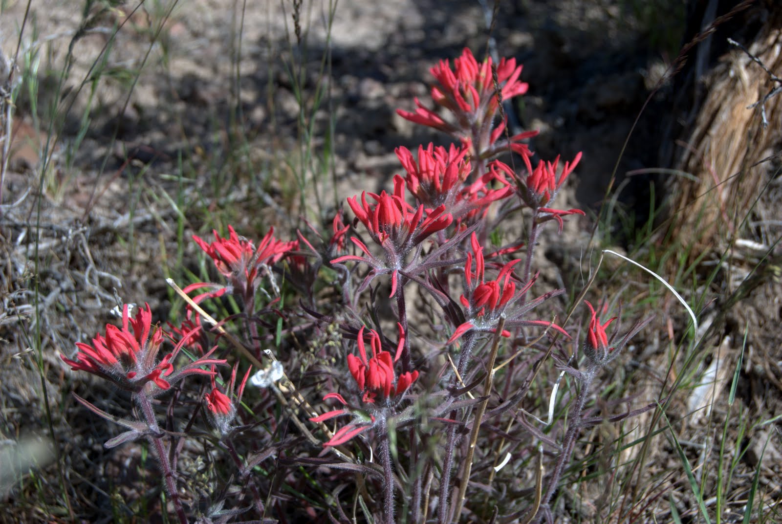
I took some pictures at Whitehouse Pond and there was a foot of snow around it but the pond itself was melted. On Sept. 15th, 1805 Private Whitehouse, of the Lewis and Clark Expedition, wrote in his journal about this pond, and it bears his name to this day.

The Lewis and Clark Expedition, on their way west in 1805, crossed over LoLo pass and traveled down Pack Creek, to the headwaters of the Lochsa River. They left the Lochsa River near the present day Wendover Campground, at a point near Whitehouse Pond and climbed to the north along Wendover Ridge and rejoined the LoLo trail.

Sept 15, 1805: Clark Writes: "...here the road leaves the river to the left and assends a mountain winding in every direction to get up the Steep assents & to pass the emence quantity of falling timber which had falling from dift. causes i e. fire & wind and has deprived the Greater part of the Southerly Sides of this mountain of its gren timber...". "....Several horses Slipped and roled down Steep hills which hurt them verry much. The one which Carried my desk & Small trunk Turned over & roled down a mountain for 40 yards & lodged against a tree, broke the Desk the horse escaped and appeared but little hurt. From this mountain I could observe high ruged mountains in every direction as far as I could See."

There were a couple of pair of ducks on Whitehouse pond and they quickly paddled away from me as I approached to take a picture. A few miles up the road I spotted a small herd of elk, in a meadow near another small pond. That was a rare sight for Lewis and Clark as they saw no elk during the crossing over the Bitterroot Mountains and very few deer. They basically went with little or no food for several days. Other than a few grouse, some thin soup, and a one of their own horses they were forced to kill and eat.

My trip across the Lolo country was easy by comparison. The road is windy and narrow but at least it's paved and there was no ice on the pavement. And it's a beautiful drive. You can drive in 3 or 4 hour what it took the Lewis and Clark over a week, with no crawling over huge logs, climbing steep brush infested mountains or rescuing falling pack horses that have fallen down steep ravines. Or hiking through snow drifts in thin leather moccasins and freezing half to death.

But on the other hand. If I had lived in that era I would have jumped at the chance to join the expedition!